Agriculture, Education February 01, 2021
Anatomy of a Flood
Watershed approach seeks solutions at the source.
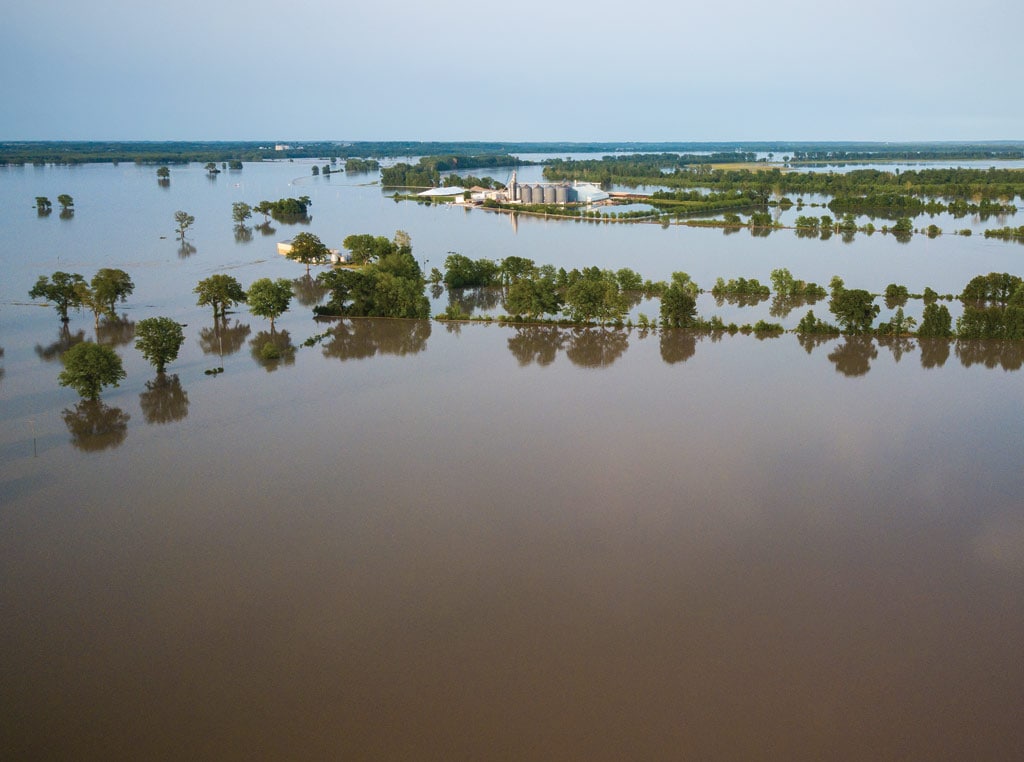
Iowa is a state known for its abundance, but there is one critical resource that sometimes becomes too much of a good thing—water. Over the past three decades, every Iowa county has been impacted by at least four presidential disaster declarations related to flooding.
Those floods have taken an economic toll, with an estimated $13.5 billion in direct flood-related property loss over the period from 1988 to 2015. Direct crop losses averaged $41 million per county over this same time frame.
State leaders have seen enough, and they’re now asking experts to examine the very anatomy of these flood events, studying field by field—and almost raindrop-by-raindrop—to understand the hydrology behind these natural disasters. The goal is to chart a course that can help Iowa become more resilient to flooding in the future.
“My vision is to restore the landscape’s natural flood resiliency,” says Larry Weber, who leads the Iowa Watershed Approach, a project of the Iowa Flood Center. “If we can strategically construct farm ponds, wetlands, terraces, and other conservation practices, they can slow the movement of water through the landscape. That will mitigate flood damage for both urban and rural Iowans.”
The University of Iowa has long been known for its water research, establishing the Iowa Institute of Hydraulic Research (now known as IIHR Hydroscience and Engineering) in 1920. Weber was serving as IIHR director in 2008 when he was approached by state officials looking for solutions following record flooding across much of Iowa. With funding from the Iowa legislature, Weber and fellow University of Iowa professor Witold Krajewski launched the Iowa Flood Center in 2009. It’s the nation’s only academic center devoted to flooding.
The center quickly got to work, bringing the latest technology to stream-flow monitoring and flood forecasting. The flood center added 250 stream-flow gauges to the existing 150 sensors operated by the U.S. Geological Survey; researchers at the center also are developing a network of sensors to monitor soil moisture. All this information is crunched on a supercomputer, allowing the Iowa Flood Center to provide a stream-flow forecast every 15 minutes during a flood event; mapping technology available on the iowafloodcenter.org website allows Iowa residents to see how close the floodwater will come to their front door.
The search for solutions at the watershed scale is the center’s most ambitious project. Funded by a $96.9 million grant attained through the U.S. Housing and Urban Development’s National Disaster Resilience Competition, the Iowa Watershed Approach is working with a long list of collaborating partners to bring a holistic approach to flood mitigation.
“The focus of this project is to install conservation practices on private land, mostly farmland, to help hold water where it falls during heavy rains,” Weber says. “We provide 90% cost-share to help compensate the farmer for these practices, and they are distributed throughout a watershed to reduce stream-flow and lessen the impact of flooding on the people who live downstream.”
Daunting task. Weber and his partners know that stemming the tide of flooding will be a daunting task. Nearly every change in the watershed over the past century—from converting grasslands into row-crop production to the growth of urban areas—has encouraged water to expediently leave the landscape. That puts an increasing burden on Iowa streams; an IIHR study shows that the Wapsipinicon River in northeast Iowa, for example, now carries about twice the amount of stream flow that it handled during the 1930s.
Changes in the rainfall pattern have added to the problem. “Long-term studies show a slight increase in annual rainfall,” Weber says. “But rainfall is coming in fewer events, so we are getting more storms that deliver 1.25 inches or more in an event. And the rainfall is tending to peak in spring months and again in the fall, right when farmers are trying to get fieldwork done.”
Those conditions have led to an increase in the amount of agricultural drainage tile installed on the landscape. The tile allows more timely fieldwork, but also hastens the speed at which water enters streams.
The flood center has done extensive work in the Middle Cedar River watershed, spending approximately $8.5 million installing wetlands to help mitigate flooding. In this HUC-8 watershed, which designates an area about the size of two Iowa counties, Weber also has kept track of ag drainage tile installations; in a recent seven-year period, a staggering 8,400 miles of tile were placed in this watershed.
“We can’t make an impact on flooding if we continue to intensify the use of land faster than we install practices to restore natural function back to the watershed,” he says. “Our challenge in the future is to find a balance between intensifying agriculture on our most productive land, while de-intensifying our least productive fields.”

Though focused on Iowa, effects of conservation practices and agricultural stewardship in a local watershed eventually ripple down to the Mississippi River and the Gulf of Mexico.
Watershed authority. In order to face these challenges, Iowa legislators created Watershed Management Authorities (WMA), a framework that allows cooperation beyond political boundaries. The WMA concept allows state agencies, scientists, counties, municipalities, farmers, and other citizens to organize and address concerns within a watershed. Those concerns extend beyond flooding, addressing other vital concerns such as water quality.
In northern Polk County, Drake University professor Peter Levi is working on a high-tech method of measuring water quality in cooperation with a WMA for Fourmile Creek. Levi is operating an aquatic drone, developed by the Oak Ridge National Laboratory, to measure water quality by the “meter and minute” on a small tributary. Fields adjacent to this tributary are scheduled to implement saturated buffers that will redirect flow from the majority of the 28 tile lines that flow into the tributary.
“Measuring water quality before and after these conservation practices are put into place gives us an exciting opportunity,” Levi says. “We should better understand the value of management practices in the watershed.”
The WMA framework also is intended to facilitate the sharing of insight gathered in a watershed, with the idea that success of a program should be quickly scaled and repeated throughout the Corn Belt—and perhaps the entire U.S. The Iowa Flood Center already has hosted a number of visitors from across the nation who are faced with similar flooding concerns in their states.
“Our watershed approach is focused on solving Iowa’s problems, but it is much more than an Iowa program,” Weber points out. “What we do to impact a watershed here on the local level eventually ripples downstream to the Mississippi River and, eventually, the Gulf of Mexico.”
He also points out that the Iowa Watershed Approach takes the long view. “It is going to take some time for natural processes and natural systems to be restored and start working to reduce the flood threat,” Weber says. “We are starting to set goals and make strategies that move us in that direction, but it will not be accomplished in five years. I think of it as a 50-year vision that demonstrates Iowa’s commitment to the future.”
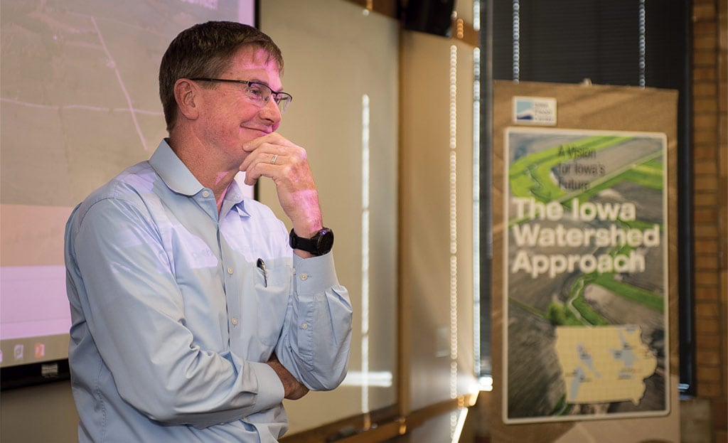
Larry Weber, a research engineer at the University of Iowa’s IIHR Hydroscience and Engineering unit, leads the Iowa Watershed Approach efforts.
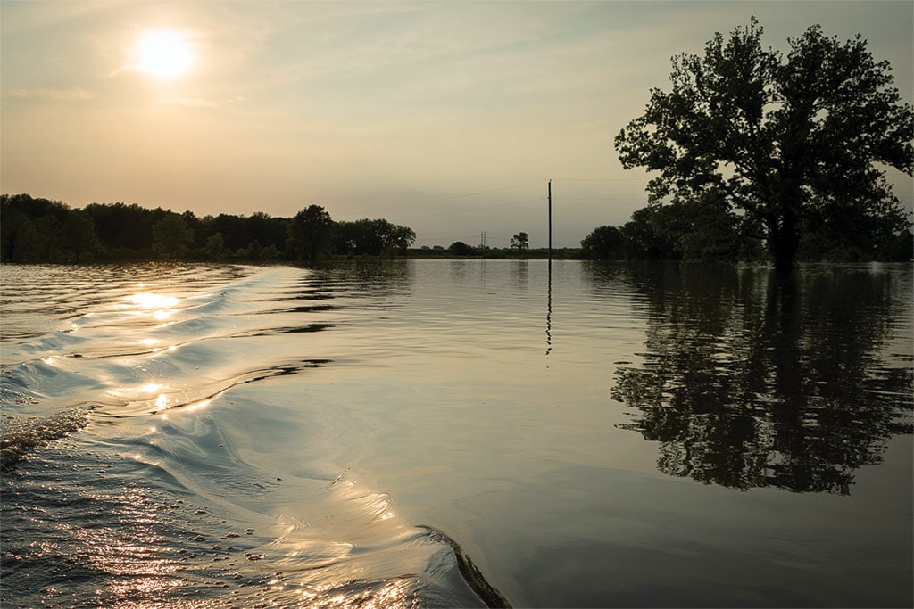
Updated mapping at the Iowa Flood Center identifies the extent of the two-year through 500-year floodplain. Citizens can check the center’s website to see how far floodwaters will extend.
Read More
Ag Tech, Farm Operation
DIgging Into Data
Refining knowledge to farm successfully in a margin era

Agriculture, Sustainability
Insect Inventory
Declining numbers are bad news for agriculture.
