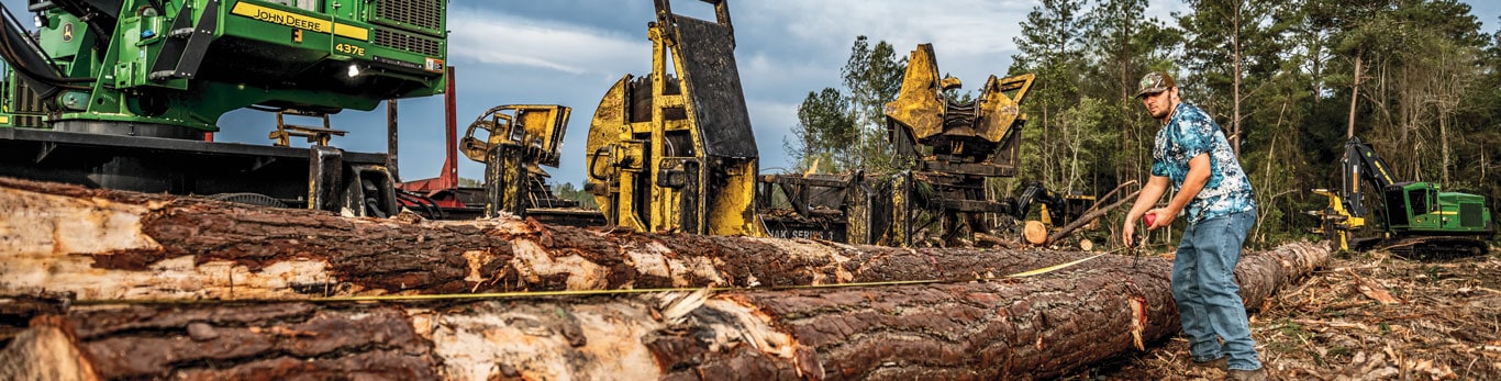

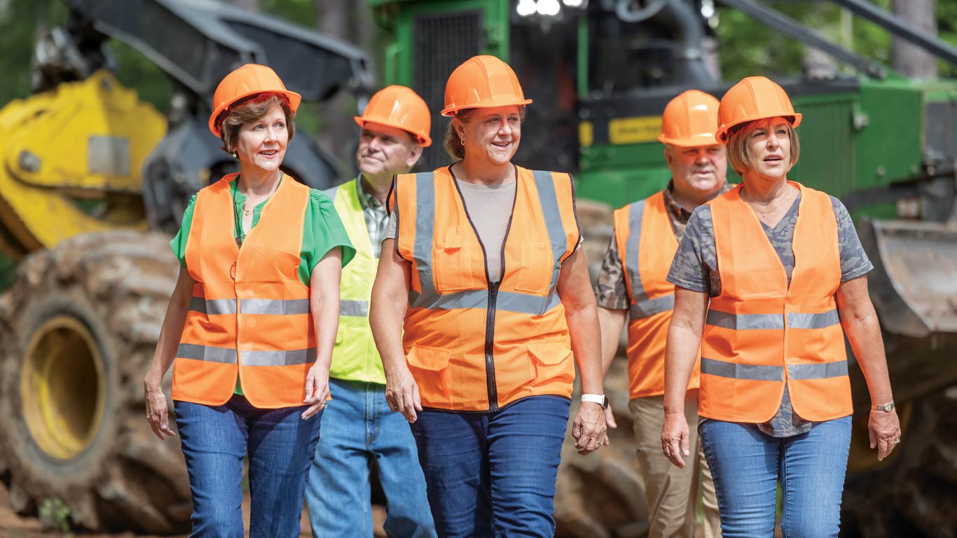
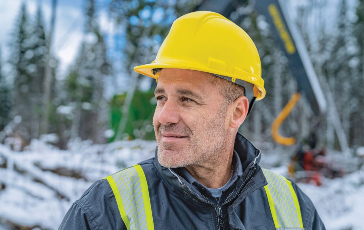
Following In Their Footsteps
Glenn Trexler & Sons Logging has embraced cutting-edge technology
![]() 6 MIN READ
6 MIN READ
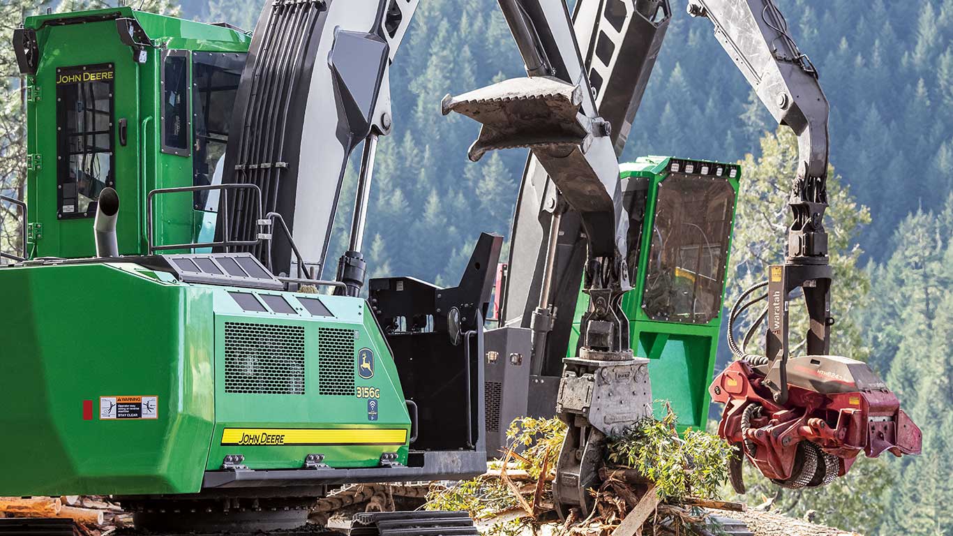
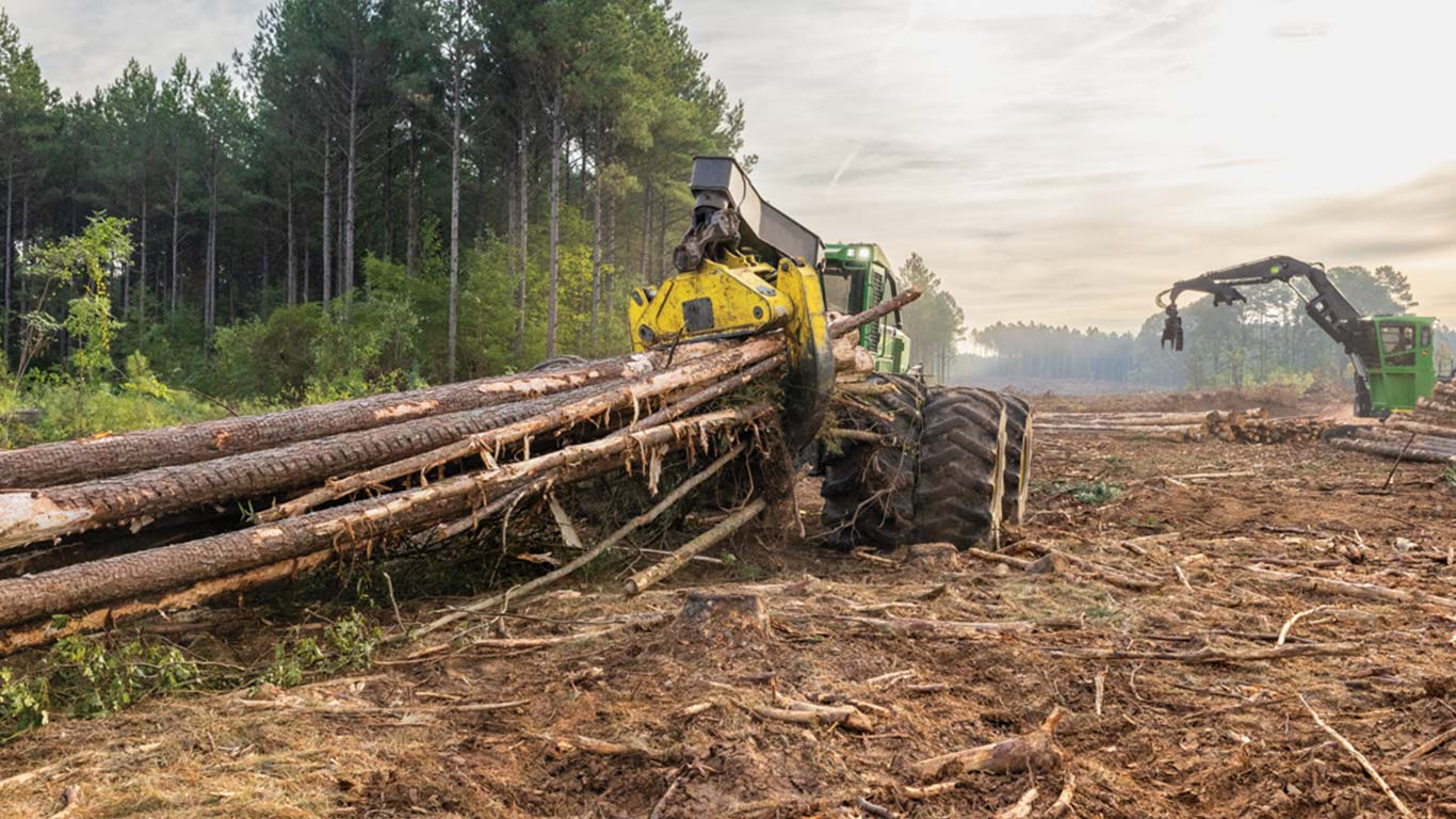
Overcoming Steep Odds
Dean Logging is winning the uphill battle of steep-slope logging in Oregon
![]() 6 MIN READ
6 MIN READ
Do you think your company's story would resonate with others in the logging industry?
SHARE YOUR JOURNEY

Are you a current or future John Deere customer looking for The Landing in print format?